What used to take MacGPS Pro software, a computer and an external GPS receiver,
you can now do using our Apps on your iPhone & iPad*!
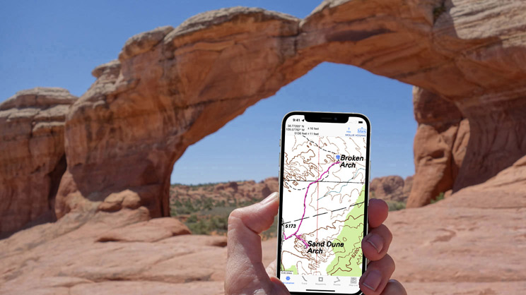

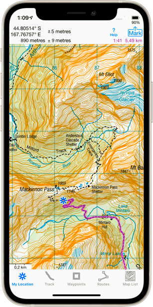
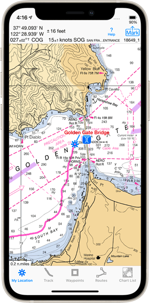
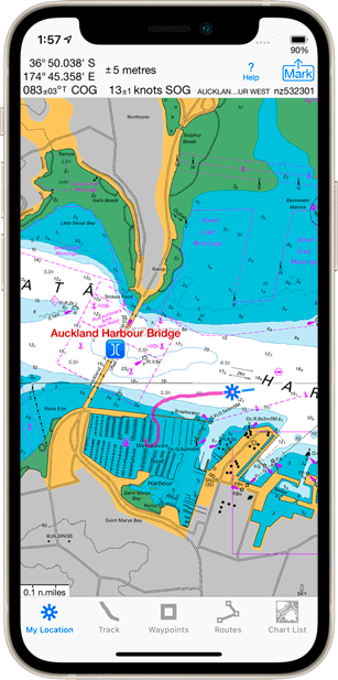
 iHikeGPS for Your Apple Mobile Devices
Navigate on Topo Maps for the USA (USGS and US Forest Service),
and SouthEast and SouthWest Canada
|
|
|
||
* WiFi-only iPads require an iOS-compatible external GPS receiver. No device requires cellular service.